
June 18, 2017
Mile 757 to Crabtree Meadows at the base of Mount Whitney
Pacific Crest Trail Thru-Hike: Day 44
Today was wonderful. It could have been frustrating, but we stopped early yesterday and took our time today, and instead it was a blast. We had snow and creek crossings and elevation, but we took our time and that made it an adventure, rather than a slog. We're camping at the base of Mount Whitney, feeling accomplished and ready for a summit tomorrow.
This morning I started out well ahead of everyone else in camp, and with the trail to Rock Creek being entirely downhill, I was finally not the last person to arrive at the crossing. Almost the last, but not quite. Sure, that’s partly because Madison and Tyler got lost (they are only using paper maps, no GPS), but I’ll take whatever encouragement I can get.
The roar of Rock Creek began two miles out from the crossing, long long long before we could see any sign of the creek. The trail crossed tributaries to the creek, and I imagined each stream I walked past contributing to this thunderous monster below. A flash in my memory took me back to Legend, the trail angel, talking about creeks, and how you can tell how bad they’ll be by how far away you can hear them. If you can hear them a mile away, it’s going to be rough. Here I am two miles out marching into the canyon of a freight train. My brain starts pulling up helpful bits of related information from its depths as I walk down, down, down. I think of the thru-hiker Daniel Winsor who is about a month ahead of us and has been diligently covering the business of creek crossings. I think about Andrew Skurka, a thru-hiking guru of sorts, and his blog post about creek crossings. If the crossing looks bad, just walk upstream. As far as you need to. I can do that, I’m good at walking. I think about how much the heat has jacked up since our cold snap in the desert, and remember talk in Kennedy Meadows about a heat wave. Well, what better time to cross a creek than during the first major heat wave of the summer, when all the snow is pouring down from the mountains?
The descent flattens out, I look at the creek, and I laugh. Because this is a joke. I mean, sure, let’s find the ‘official’ place where the trail crosses the creek, but let’s also acknowledge the fact that someone thought ‘creek’ would be a good name for this raging, frothing monster. I’m not worried, per se, because I haven’t walked upstream yet, but to call this a creek is to call King Kong a monkey.
Weighing Our Options
I continue downstream to find the rest of the gang and the spot where the trail crosses Rock Creek. That’s definitely not an option, as it is at least ten-foot-deep whitewater rapids. In normal years, it’s a rock hop. So, that’s a good sign for the dozens of creeks ahead that are supposed to be worse than this one. We drop our packs and go hunting for options.
Oh, good! Nearby someone finds a log that spans the 15 or 20-feet across to the other bank. It’s a ten-foot drop into churning, roaring rapids, but there are sticks coming out from the log to hold on to. You know, for balance. Let’s not talk about those sticks posing obstacles to crossing the log, or the fact that it is completely wiped of bark for a tread-free surface that's smooth, slick, naked wood. Or the fact that if you fall off you’ll be absolutely, 100% dead meat.
I don’t say these things out loud, because for me, crossing this log is not an argument. It’s just flat-out not happening. I’ll look for another place to cross on my own if I have to. No way. I promised myself if I came out here, I’d use common sense. There’s nothing sensible about crossing on this log. Not doing it. Then I look up, and Alex has taken his pack off and is halfway across the log! He’s testing it out to see how slippery it is. Yeah! Testing it out! To be fair, he is navigating it nimbly and masterfully, weaving through the long spindly branches like he’s just playing on monkey bars. He’s across and back before I can even get the impulse to throw up.
I’m happy to have Silver Fox standing next to me, because his body language speaks exactly to what I’m thinking. There is no fucking way this log is happening. Neither of us says it out loud, but as the log seems to actually be getting some consideration as a legitimate option, I speak up. I’m careful not to squash this as a possibility out loud, but suggest that if we, perhaps, look upstream, the creek may mellow out a little bit. Justin and Silver Fox go to check it out, and within ten minutes they are back. The look on Silver Fox’s face tells me that we’re good. There’s another route half a mile upstream and it’s solid. Justin stays behind to wait for Madison and Tyler, the rest of us head for the meadow. Packs on, let’s do this.
Finding a Meadow
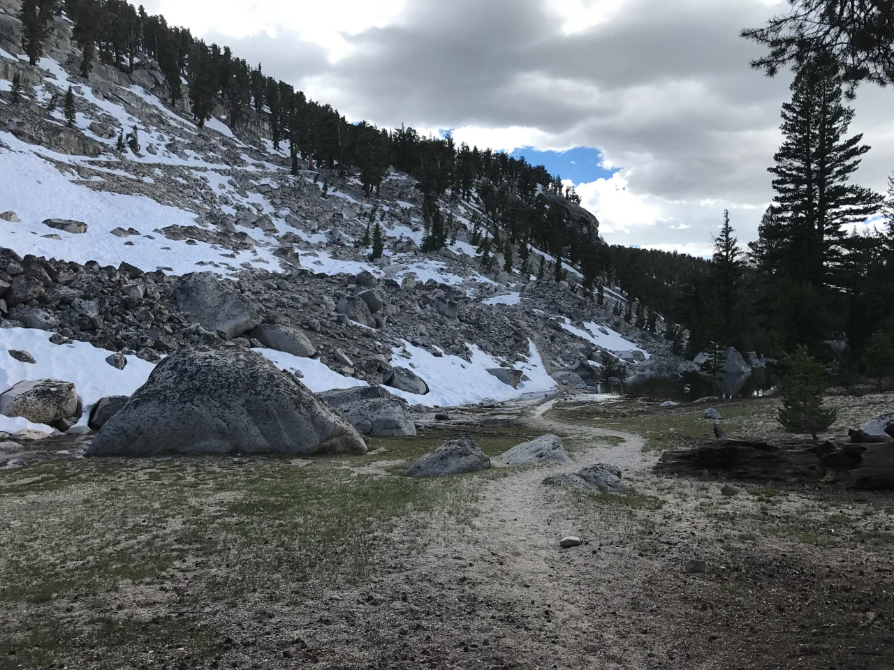
The creek braids upstream at a meadow, which means it splits into several small fingers instead of one massive channel of water. The meadow is flooded, and it’s deep, but the current is not whitewater, and it’s absolutely not deep enough or strong enough to sweep any of us off our feet. Plus, there are a few islands of dry land between sections of the braided creek. There is a log involved, but it’s flat, dry, only seven feet long instead of 20, only a foot above the water instead of 10, and sits above a braid of the flooded meadow instead of rapids. We cross in quick succession, and it is very straightforward. The first braid is a ford, the second a log, the third is basically wading through a bog. It’s cold, but we’re in no danger of anything except wet feet. Creek one, check. Through the bog, bushwhack back to trail, and we sit for a bit to wait for everyone to finish crossing and dry our feet out. Onward and upward, we climb out of the canyon. The accomplishment is exhilarating, and I am relieved and motivated that Daniel Winsor and Andrew Skurka’s advice holds up in practice. We’re six miles from the Junction to Mount Whitney, and ready to push on.
Onwards to Mt. Whitney
Up and up, we hit another creek two miles ahead, but it is only a short distance to the other side of the bank, maybe a few feet, and the water is nowhere near the depth or power of Rock Creek. We get across easily and move on. The climbing is slow, but the trail is snow-free, so it’s slow in a way that doesn’t involve checking the GPS every 30 seconds to make sure we’re still going the right direction.
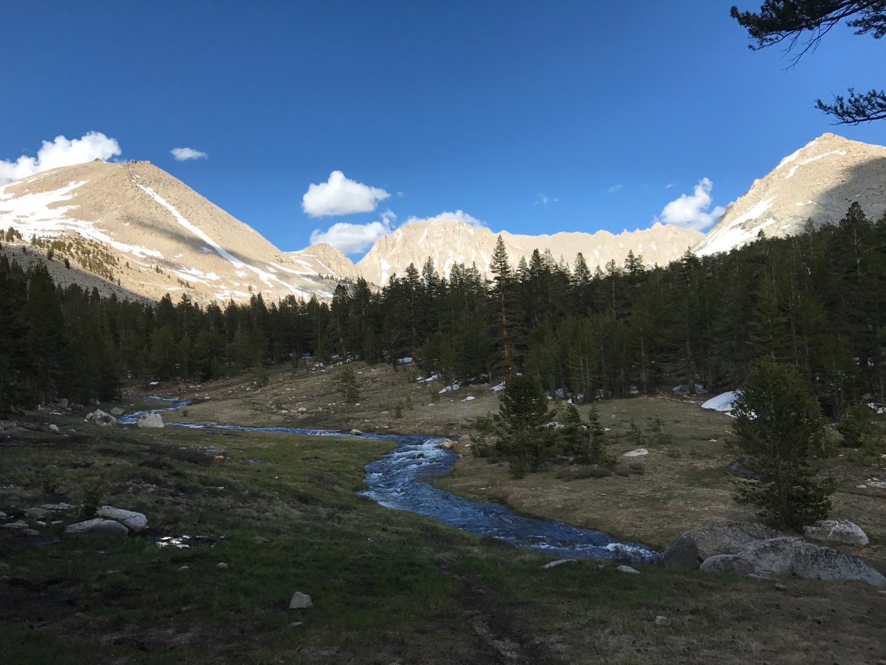
Just over a mile from the junction to Mt. Whitney Alex and I hear cheers and shouts. I’m ready for a break, and finding our trail family on a sunny rock is a welcome, uplifting sight. It’s windy and bright and not a cloud in the sky. We only have a mile to the junction and then a few after that to get to base camp. What a delightful day it has been. We have ramen for lunch, relax in the sun with our feet up and eyes closed, and after a 20-minute nap we start quietly packing up to get a start on the final miles of the day. It should be mostly downhill, which means I’ll mostly be able to keep pace with everyone.
Except downhill is on the other side of the mountain and completely covered in snow. Can’t I get a fucking break? Sun cups abound, trail is nowhere to be found. We’re passed quickly by everyone, end up at the top of a snow-covered boulder field with 100-foot drop to the bottom. Good thing I’m not afraid of heights. Oh, I am, that’s right. I look around and around, certain that this cannot possibly be the way we’re supposed to go, looking for footprints leading a different direction, and finally come to the conclusion that this is our best option. I move slowly, and as I focus on my feet and hands, I lose myself in navigating the boulder field.
Before I know it, we’re at the gate that marks our return to trail. About twenty feet below, I see Sonya, Sara and Ben waving. They’re waiting for us at the bottom. We finish our descent and move along. There is another creek crossing, just before the Whitney junction. I hesitate, but Sonya is confident and I trust her judgement. Ben crosses first, then Sonya and Sara, then Alex, and finally me. It’s waist-deep, but running off of a meadow and the current is very manageable. Just…cold. Really fucking cold.
At the Base of Mt. Whitney
We make the few more miles to Crabtree Meadows at the base of Whitney, and the rest of the gang is there. Colten, Sam, Yeti, Flame, Phil and Chris have climbed Whitney today, and as we cook dinner we see them come off the mountain. It’s our first time on trail going more than 24 hours without seeing Sam, and I’m glad that they are all in good spirits. Phil’s face is beet red from not using enough sunscreen and Colten got to call his dad from the top of Whitney on Father’s Day. Though I’m disappointed that they’ll be moving forward tonight to the bank of Wright Creek, seeing them reassures me that we haven’t been separated forever in trail time. There are hugs, and well wishes, and I’m hopeful that we’ll see them again in Bishop.
The leftovers (those of us that are climbing Whitney tomorrow) set up camp, eat dinner, prep for what we’ll need for slack-packing to the summit. Though the day started with clear skies there are now storm clouds over Whitney. Madison says this happens on most days with mountains over 14,000 feet, and there’s a rule that you want to hit the summit by noon so you can get down before the weather rolls in. On that note, we’re off to an early bed and a 3 am wake-up time. The ascent of Whitney takes us up an additional 3,500 feet of elevation, and given how well I deal with low-oxygen situations (not well at all), I’m eager to get an early start and hit the summit well before noon.

Alex crossing the less sketchy log at Rock Creek, with a calmer braid of the creek below him. Photo Credit: Benjamin Dourdet

So happy to have had a nap and ready for the downhill


The backside of Mount Whitney is quiet, reserved, desolate. There are pine trees, and little else among the sandy, gravel-covered terrain. In the distance, Whitney looms.
At the bottom of the boulder field


The third creek of the day. Deep, but clear and calm. It helps when you can see the bottom. Photo Credit: Benjamin Dourdet